Hesketh Park
Hesketh Park, Park Crescent, Southport, PR9 9NW
Listed on the National Heritage List for England. Search over 400,000 listed places
Overview
- Heritage Category:
- Park and Garden
- Grade:
- II*
- List Entry Number:
- 1000996
- Date first listed:
- 01-Feb-1986
- Statutory Address:
- Hesketh Park, Park Crescent, Southport, PR9 9NW
Location
Location of this list entry and nearby places that are also listed. Use our map search to find more listed places.
Use of this mapping is subject to terms and conditions.
This map is for quick reference purposes only and may not be to scale.
What is the National Heritage List for England?

The National Heritage List for England is a unique register of our country's most significant historic buildings and sites. The places on the list are protected by law and most are not open to the public.
The list includes:
🏠 Buildings
🏰 Scheduled monuments
🌳 Parks and gardens
⚔️ Battlefields
⚓ Shipwrecks
Historic England Archive
Search over 1 million photographs and drawings from the 1850s to the present day using our images archive.
Find PhotosAlso of interest

Official list entry
- Heritage Category:
- Park and Garden
- Grade:
- II*
- List Entry Number:
- 1000996
- Date first listed:
- 01-Feb-1986
- Date of most recent amendment:
- 21-Aug-2013
- Statutory Address 1:
- Hesketh Park, Park Crescent, Southport, PR9 9NW
The scope of legal protection for listed buildings
This list entry identifies a Park and/or Garden which is registered because of its special historic interest.
The scope of legal protection for listed buildings
This list entry identifies a Park and/or Garden which is registered because of its special historic interest.
Location
- Statutory Address:
- Hesketh Park, Park Crescent, Southport, PR9 9NW
The building or site itself may lie within the boundary of more than one authority.
- District:
- Sefton (Metropolitan Authority)
- Parish:
- Non Civil Parish
- National Grid Reference:
- SD 34814 18215
Summary
A public park opened in 1868 designed by Edward Kemp.
Reasons for Designation
Hesketh Park, Southport, opened in 1868, is designated at Grade II* for the following principal reasons: * Date: the park is an early example of a municipal park; * Design: although enhanced, the park’s design is essentially unchanged from its original layout; * Designer: the park was laid out by the leading designer Edward Kemp, possibly to the design of Joseph Paxton for whom he had previously worked; * Structures and planting: the park retains various structures, some listed, and has many mature trees.
History
A public park was created by the Southport Commissioners through the Second Southport Improvement Act of 1865 on 23ha of land donated by the Rev Charles Hesketh. Edward Kemp (1817-91) laid out the park, possibly to the design of Joseph Paxton (1803-65) for whom Kemp had worked at Birkenhead Park (qv) in Liverpool (Chadwick 1966). The cost of the layout was £12,000 and the park was opened in 1868. Various structures have been added and some alterations made through the later C19 and C20.
Details
LOCATION, AREA, BOUNDARIES, LANDFORM, SETTING
Hesketh Park is situated c 1.2km north-east of the centre of Southport, in an area of generally residential character c 900m south-east of the seafront. The 12ha site is roughly oval in shape and is bounded by Albert Road to the north-west, Park Crescent to the north, east and south, and Park Road to the south-west. There is a stone plinth along the boundary which was once surmounted by cast-iron railings. The locality was formerly one of coastal sandhills to the north and fields to the south and east. The sandhills have been levelled apart from the area within the park itself.
ENTRANCES AND APPROACHES
There are two principal entrances, both with lodges of c 1868. One is situated on the corner of Albert Road and Park Road, the other on the corner of Park Road and Park Crescent. There are four other entrances, all with stone gate piers. Three are on Park Crescent and one on Albert Road, c 70m from the junction with Park Crescent. A later C20 vehicular entrance serving the nurseries is situated on Park Crescent.
GARDENS AND PLEASURE GROUNDS
The park was formed from an area of sandhills and the topography was exaggerated using spoil from the lake. This allowed the creation of small secluded gardens of different character between the hills. Most of the area is wooded and there are many mature trees; this combined with the hilly topography is in striking contrast to the surrounding area. The entrances, apart from the C20 service entrance, all lead to systems of winding paths through and up the hills to give continuously changing prospects. A large lake with an irregular outline and three islands is situated in a hollow slightly west of the centre of the park.
The entrance on the corner of Albert Road and Park Road leads past the lodge. The paths split into three, one on each side leading around the perimeter of the park and one running eastwards to the lake. A fountain was situated at the west end of the lake and is indicated on the 1893 OS map. On the north side of the lake a rockwork feature, perhaps originally a cascade, is situated c 100m from the west end of the lake. A cast-iron water fountain was re-erected 2008 in the style and site of the original. A path leads around the edge of the lake and it is joined at various places by other paths which meander into the woodland.
On the north side of the park, the path which runs close to the park perimeter from the Albert Road/Park Road entrance, leads to a rockwork arch situated c 100m north-east of the entrance. This leads in turn to a sunken formal rose garden which is shown on the large-scale OS map of 1911. On the north-eastern edge of the park, is a 1993 Sensory Garden with a system of raised beds. As the perimeter path curves southwards there is a rebuilt shelter and toilets are situated at an entrance at the junction of Park Avenue and Park Crescent.
On the south side of the park is a low-lying area east of the lake where there are children's playgrounds and 'crazy golf' facilities. A late C20 cafe and shop is situated c 160m north-west of the Park Crescent/Park Avenue entrance. From this point paths lead up and between the hills on the north and south sides.
The highest point of the park is slightly north-east of the centre and on this eminence is the Fernley astronomical observatory (listed Grade II) which was opened in 1901. On a neighbouring hill a meteorological station shown on the large-scale OS map of 1893 was demolished in the 1970s and replaced by a late C20 shelter, which has since also been demolished (2004). Close to this on the side of the hill is a rockery which was established in 1932. On the south-west side of the site, c 200m south-east of the Albert Road entrance, a large conservatory (listed Grade II) lies on the southern margins of the lake. This was purchased in 1877 and brought from the grounds of Brunswick Villa in Southport.
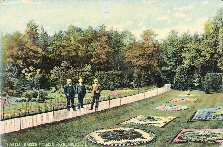
The floral clock was presented to Hesketh Park in 1936 and, as part of the 2010 restoration, the formal American garden containing the floral clock has been replanted to the 1930s design. The surrounding planting incorporates species of American specimen shrubs, bulbs and herbaceous plants and the clock is planted with carpet bedding.
Close to the Park Road boundary, c 100m west of the conservatory there were aviaries on either side of the path shown on the large-scale OS map of 1927. The last aviary was demolished in 2010. A rockwork arch leads to a paved area bounded by wildflower and grass bank.
Some 30m north of the Park Crescent/ Park Road entrance lodge there is an area of working nurseries with a mixture of late C20 and mid to late C19 buildings and glasshouses.
Legacy
The contents of this record have been generated from a legacy data system.
- Legacy System number:
- 1994
- Legacy System:
- Parks and Gardens
Sources
Books and journals
Chadwick, GF, The Park and the Town, (1966), pp 104-5
'Builder XXVI' in , (9 May 1868), p 344
Other
Archival items
Anon handwritten notes and a typewritten list of items in Southport Library with brief historical details, nd (Metropolitan Borough of Sefton, Planning and Environment Department)
,
Garden History Society Newsletter 16, (1972), pp 7-9,
Legal
This garden or other land is registered under the Historic Buildings and Ancient Monuments Act 1953 within the Register of Historic Parks and Gardens by Historic England for its special historic interest.

Map
This map is for quick reference purposes only and may not be to scale. This copy shows the entry on 14-May-2025 at 17:21:33.
Download a full scale map (PDF)© Crown copyright [and database rights] 2025. OS AC0000815036. All rights reserved. Ordnance Survey Licence number 100024900.© British Crown and SeaZone Solutions Limited 2025. All rights reserved. Licence number 102006.006.
End of official list entry


